Full image
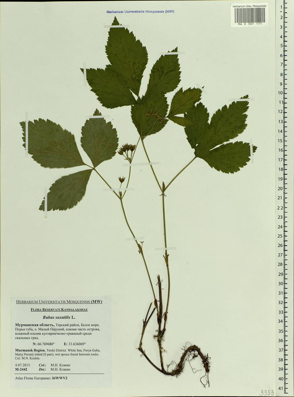

Licensed under CC-BY 4.0 (see recommended citation in "Full record" following "How to cite" link)
Do you want to join the team of "Distribution Atlas of the Russian Flora"? Upload your photos of plants in wild with exact location on iNaturalist to contribute our new project "Флора России | Flora of Russia".
- Barcode
- MW0387177 (related GBIF-records)
- Collection name
- Rubus saxatilis
- Accepted name
- Rubus saxatilis L.
- Family
- Rosaceae
- Geography
- Eastern Europe, Northern region (E1) (Russia)
- Georeference
- 66.7697, 33.6361
- Label data
-
Rubus saxatilis L.
Мурманская область, Терский район, Порья губа, о. Малый Перуний, южная часть острова, влажный ельник кустарничково-травяный среди скальных гряд; [точка сбора по дневнику]: ПГ-2013-26 == Terski District. White Sea, Porya Guba, Malyj Perunij island (S part), wet spruce forest between rocks
4.07.2013. Coll. Кожин М.Н.==M.N. Kozhin, № M-2442
Det. Кожин М.Н.
Label input date 13.01.2020
All specimens of the species
Materials of the "Atlas of the Russian flora" (detail)

All pictures of the species in wild (iNaturalist.org)
All pictures of the species in wild (plantarium.ru)
Report a mistake
How to cite (resource)
Seregin A. P. (Ed.). 2026. Moscow Digital Herbarium: Electronic resource. – Moscow State University, Moscow. – Available at: https://plant.depo.msu.ru/ (accessed 30.05.2026)
See recommended citation of the individual specimen in "Full record" following "How to cite" link