Full image
, specimen")
Licensed under CC-BY 4.0 (see recommended citation in "Full record" following "How to cite" link)
Do you want to join the team of "Distribution Atlas of the Russian Flora"? Upload your photos of plants in wild with exact location on iNaturalist to contribute our new project "Флора России | Flora of Russia".
- Barcode
- MW0555469
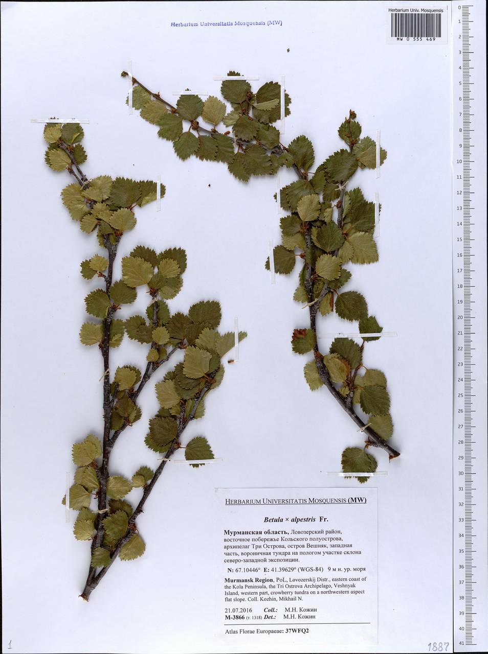
- Collection name
- Betula alpestris
- Accepted name
- Betula intermedia var. intermedia
- Family
- Betulaceae
- Geography
- Eastern Europe, Northern region (E1) (Russia)
- Georeference
- 67.1045, 41.3963
- Label data
-
Betula × alpestris Fr.
Мурманская область, Ловозерский район, восточное побережье Кольского полуострова, архипелаг Три Острова, остров Вешняк, западная часть, вороничная тундра на пологом участке склона северо-западной экспозиции; [точка сбора по дневнику]: т. 1318 == Lovozerskij Distr., eastern coast of the Kola Peninsula, the Tri Ostrova Archipelago, Veshnyak Island, western part, crowberry tundra on a northwestern aspect flat slope. Elev. 9 m a.s.l.
21.07.2016. Coll. М.Н. Кожин==Kozhin M.N., № M-3866
Label input date 13.01.2020
All specimens of the species
All pictures of the species in wild (iNaturalist.org)
All pictures of the species in wild (plantarium.ru)
Report a mistake
How to cite
Seregin A. P. (Ed.). 2024. Moscow Digital Herbarium: Electronic resource. – Moscow State University, Moscow. – Available at: https://plant.depo.msu.ru/ (accessed 07.05.2024)
See recommended citation of the individual specimen in "Full record" following "How to cite" link